


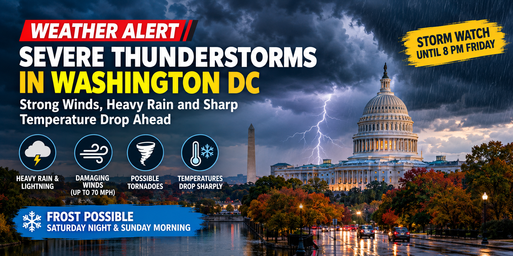
Severe Thunderstorm Watch Issued for Washington, D.C. Region
Washington, D.C., and surrounding areas are facing the threat of severe thunderstorms as a powerful cold front moves across the Mid-Atlantic region. The approaching weather system could bring heavy rainfall, lightning, damaging winds and a possible tornado, prompting weather officials to issue a severe thunderstorm watch.
According to the National Weather Service (NWS), the watch covers Washington, D.C., several counties in Maryland and parts of Virginia. It remains in effect until 8 p.m. EDT on Friday, October 16.
Damaging wind gusts are the primary concern, although forecasters have not ruled out the possibility of a brief tornado. The strongest storm activity is expected to remain mainly north of the Washington metropolitan area, with Maryland facing a greater risk of intense thunderstorms.
Residents are being advised to monitor weather alerts and prepare for rapidly changing conditions.
Strong Winds, Heavy Rain and Lightning Expected
The approaching cold front is expected to trigger thunderstorms across parts of the region on Friday evening. Some storms could produce intense rainfall and strong wind gusts capable of creating hazardous conditions.
The original forecast highlighted the possibility of wind gusts reaching 70 mph. However, actual wind speeds and storm intensity may vary by location.
The National Weather Service has identified damaging winds as the primary threat, while a brief tornado remains possible in the affected areas.
Thunderstorms and showers could continue into the night in some locations, increasing the risk of wet roads and reduced visibility.
Temperatures to Drop Sharply After Friday’s Storms
The arrival of the cold front is expected to bring a significant change in temperatures across the Washington, D.C., region.
Friday’s temperatures are forecast to reach the low to mid-80s Fahrenheit before colder air moves into the area. Overnight temperatures are expected to fall into the upper 40s and lower 50s.
The National Weather Service forecast for Washington, D.C., also indicates a chilly Saturday, with afternoon temperatures reaching only the mid-50s.
Strong northwesterly winds will make conditions feel even colder, particularly in exposed areas.
The sudden temperature drop marks a major shift from the relatively warm conditions experienced earlier on Friday.
Frost Possible Saturday Night and Sunday Morning
The colder weather is expected to continue through the weekend.
Frost is possible Saturday night into Sunday morning, particularly in areas west of Interstate 95. Temperatures in Washington, D.C., could fall to around 40 degrees Fahrenheit by Sunday morning.
The combination of clear skies, colder air and lighter winds in some locations could create favorable conditions for frost to develop.
Residents in colder areas should take precautions to protect sensitive plants and outdoor vegetation.
Drivers Warned About Hazardous Road Conditions
Rainfall from the storms could leave roads wet and slippery overnight. Fallen leaves may make road surfaces particularly hazardous, especially on curves, residential streets and roads surrounded by trees.
Drivers are advised to reduce their speed, maintain a safe following distance and remain alert for sudden changes in weather conditions.
Strong winds could also affect high-profile vehicles and create hazards from fallen branches or unsecured outdoor objects.
Motorists should check local weather and traffic updates before travelling during periods of severe weather.
What Residents Should Know
Residents across Washington, D.C., Maryland and Virginia should remain alert as the cold front moves through the region.
Key weather concerns include:
- Severe thunderstorms and lightning on Friday.
- Damaging wind gusts and the possibility of a brief tornado.
- Heavy rainfall and reduced road visibility.
- A sharp temperature drop overnight.
- Gusty winds and chilly conditions on Saturday.
- Possible frost in areas west of Interstate 95 late Saturday night and early Sunday.
The latest alerts and location-specific forecasts are available through the official National Weather Service website.
Official weather updates: https://www.weather.gov/lwx/
Conclusion
Severe thunderstorms, damaging winds and heavy rainfall could affect parts of the Washington, D.C., region as a cold front moves through on Friday, October 16. Maryland and areas north of the capital face a particular risk of intense storm activity.
The weather system will also usher in significantly colder air, bringing a sharp temperature drop, gusty winds and the possibility of frost over the weekend.
Residents should continue checking official weather alerts, exercise caution on wet roads and prepare for the rapid transition from warm autumn conditions to a much colder weekend.
